Wollangambe 2 exit track update
Canyoning Australia has worked with the private land owner and Mt Wilson locals to mark a new detour for canyoners walking along the Wollangambe 2 exit track in order to avoid trespassing on private land.
Download the Wollangambe 2 exit track GPX file.
Map describing the changes to the Wollangambe 2 exit track
Elevation profile of the Wollangambe 2 exit track
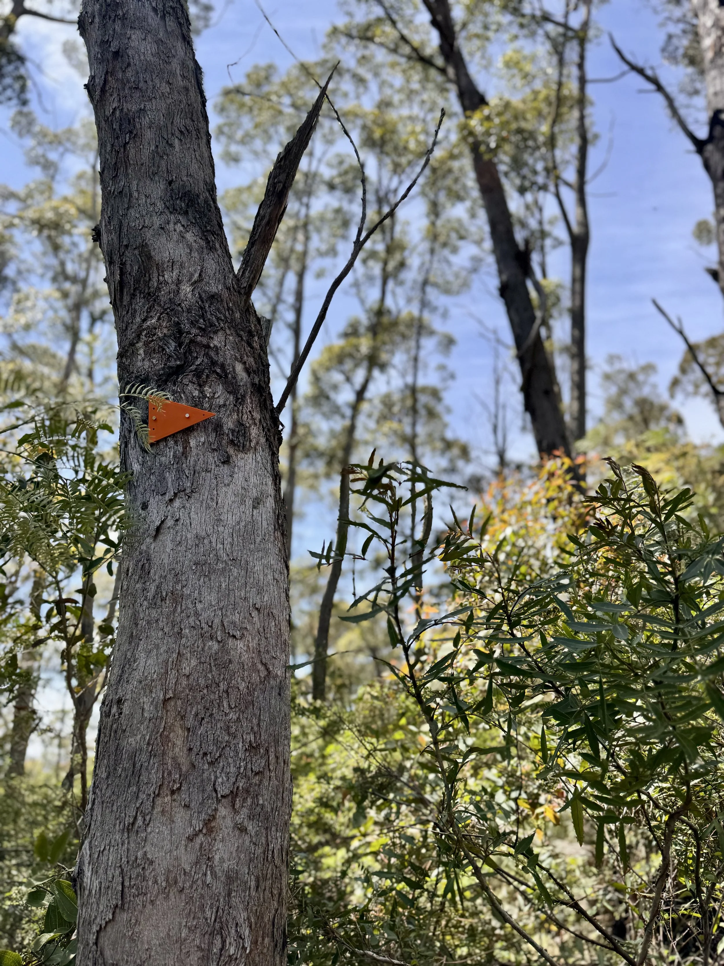
The new detour skirts the western boundary of the private land. It has been marked using orange triangular track markers and pink tape.
Please note the track can be bushy at times. It will take time to develop into a nice clear footpad as canyoners and hikers begin to use this new route.
We kindly ask canyoners not to remove the pink flagging until the path has been well defined through use.
Example of a orange triangular track marker used to mark out the new detour
Canyoning Australia has submitted the new track to Open Street Maps (OSM) so that, in time, it will begin to appear in GPS apps that use OSM data, such as Gaia GPS.
In the mean time you can download the Wollangambe 2 exit track GPX file.
Over the coming days we will also work with track note authors to update ropewiki.com and ozultimate.com to include advisory notices on relevant canyon track notes.
Happy canyoning and play safe. 🤗
Support the canyoning community, join Canyoning Australia to get access to our growing collection of exclusive workshops and content


